who we are
About MapGuru
Our Story
Geospatial data is powerful—but leveraging it effectively can be complex.
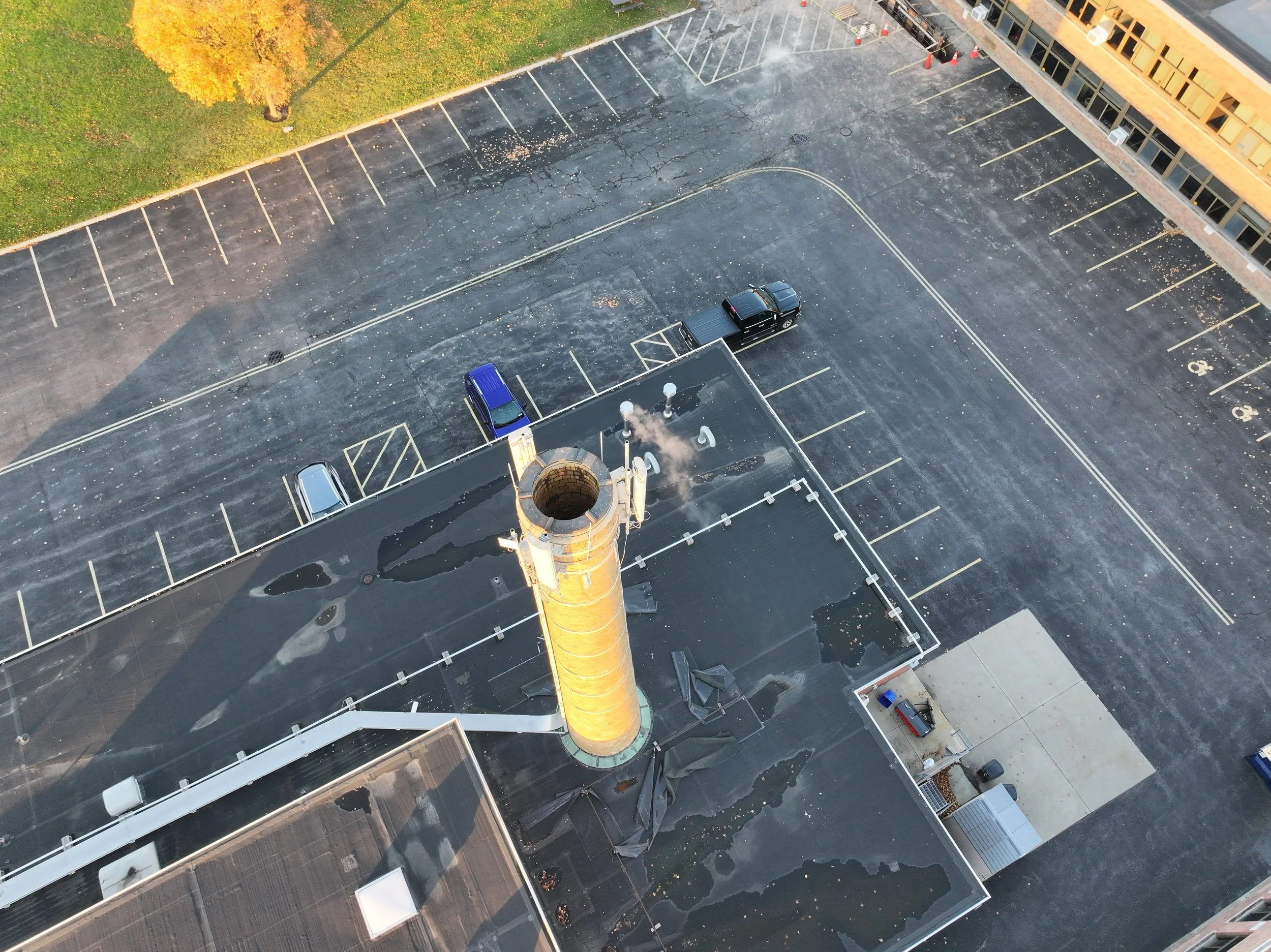
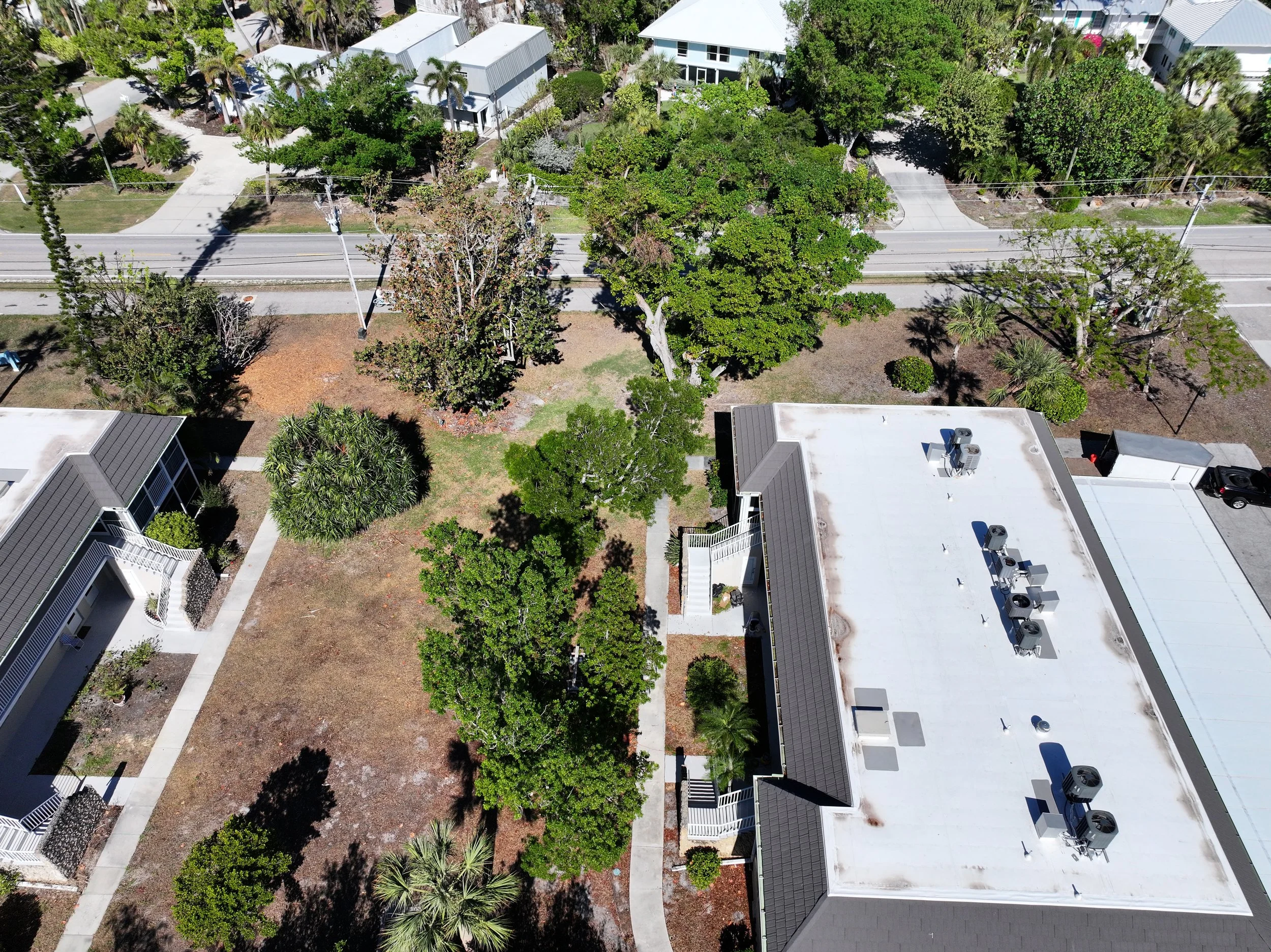
Founded in 2021, MapGuru is a veteran-owned geospatial consulting firm that helps businesses, governments, and insurers turn raw spatial information into actionable insights. Our deep expertise in GIS, remote sensing, and data engineering, we help you streamline workflows, enhance risk assessments, and modernize infrastructure. Our approach is always tailored—no one-size-fits-all solutions. Start deriving real value from mapping technology with integrated geospatial systems and high-resolution aerial intelligence, and experience the ease of data-backed decision-making.
About Our Team
Kyle Ryan
ceo / founder
Adept, creative, and motivated Geospatial Solutions Engineer & Architect with 12 years of analytical and leadership experience in a multi-disciplinary career spanning Geospatial Intelligence, Utilities, Telecommunications, and Insurance. A U.S. military veteran and FAA-certified drone operator, specializing in turning complex spatial data into actionable solutions for businesses, governments, and insurers.
Taylor Bookmiller
Operations
Versatile professional with an MBA, offering a rich blend of experiences across various sectors. Expertise in small businesses and a solid hospitality background ensure clients enjoy personalized, high-quality services.
Our Experience
1. Proven Expertise Across Industries
Our robust background in Geospatial Intelligence, Utilities, Telecommunications, and Insurance allows us to quickly understand the unique pain points and opportunities within each industry. MapGuru hits the ground running—spending less time getting up to speed and more time delivering tangible value to your business.
2. Cutting-Edge Technology & Innovation
We bring hands-on expertise in GIS, remote sensing, data engineering, and enterprise geospatial solutions, leveraging industry-leading platforms like ArcGIS Enterprise, Databricks, FME, Azure, and Python-based geospatial processing. As an FAA-certified drone operator, we integrate high-resolution aerial intelligence into decision-making workflows, providing our clients with precise, real-time insights.
3. Mission-Driven Approach
Founded by a U.S. military veteran, MapGuru applies the same precision, discipline, and strategic thinking that defines military operations. We take a mission-oriented approach to every project—delivering tailored solutions, clear results, and long-term value for businesses, governments, and insurers.
WE VALUE
INTEGRITY & GROWTH
•
COMMUNICATION
•
LEADERSHIP
•
CLARITY & INFORMATION
•
HONESTY
•
INTEGRITY & GROWTH • COMMUNICATION • LEADERSHIP • CLARITY & INFORMATION • HONESTY •

Our Goals
At MapGuru our aim is simple: help you unlock the full potential of spatial data. We demystify complex GIS data, presenting it in an accessible, user-friendly format so you can make faster, smarter decisions with confidence. Our expertise in GIS, remote sensing, and data engineering ensures that your organization gains not just data, but clear, actionable insights that drive efficiency and growth. By streamlining workflows, integrating advanced geospatial solutions, and tailoring every approach to your unique needs, we help you stay ahead in an increasingly data-driven landscape.


